Satellite records the ecological butterfly changes in Gusheng Village on the bank of Erhai Lake
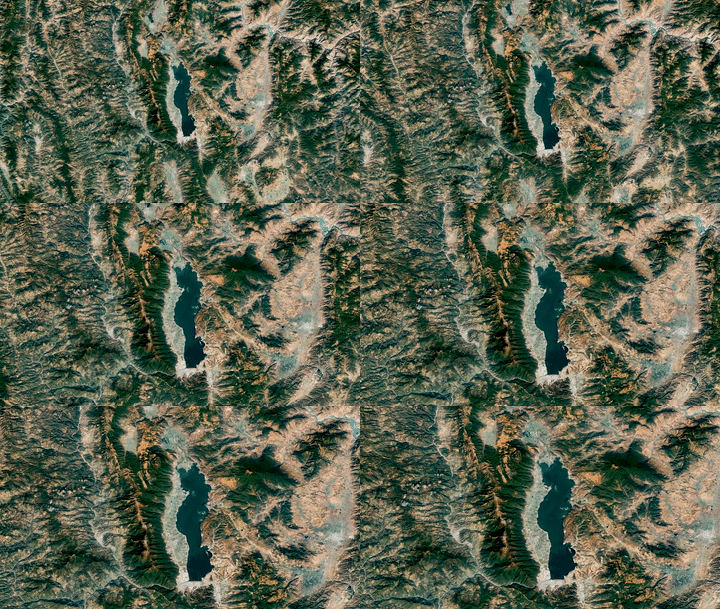
Xinhua All -Media+丨 Satellite Records the Ecological Butterfly Change of Gusheng ...
Xinhua All -Media+丨 Satellite Records the Ecological Butterfly Change of Gusheng Village on the banks of Erhai Lake
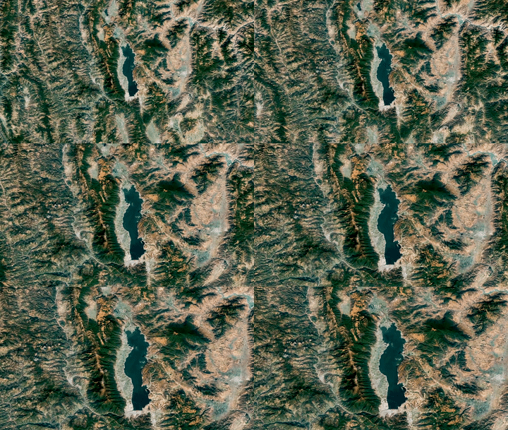
Western Yunnan ProvinceThe combination of the Yunnan -Guizhou Plateau and the Heng...
Remote sensing satellite application National Engineering Research Center was established
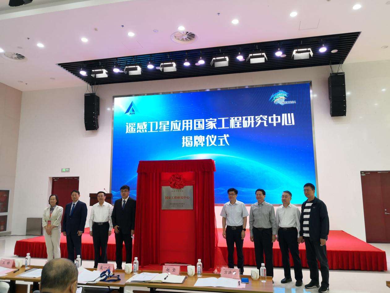
On September 27, the National Engineering Research Center of the Remote Sensing Sa...
A full -wise forum, helping the entire chain satellite industry cluster landing crane wall
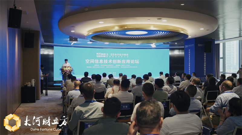
[Dahe Daily · Dahecai Cube] (Reporter Duan Weituo Intern Li Bo Photography) On th...
The National Engineering Research Center of the remote sensing satellite application is unveiled in Beijing, and the public remote sensing satellite common application support platform is released
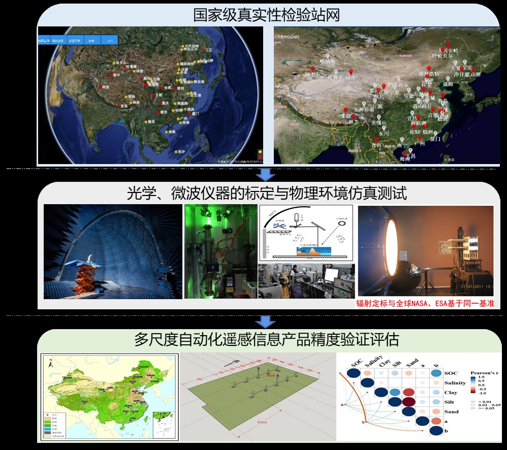
On September 27, the National Engineering Research Center of the remote sensing sa...
Long March 2 Ding Yunzai Rocket successfully launched the remote sensing 36 satellite to launch
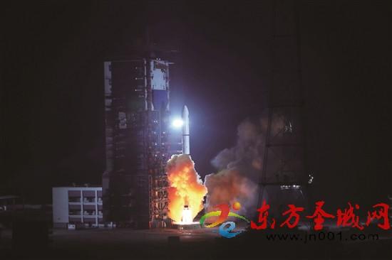
At 21:38 on September 26th, my country used the Long March 2 Ding Yunzai Rockets a...
See the big red screen — the successful launch of the remote sensing 36 satellite in my country!
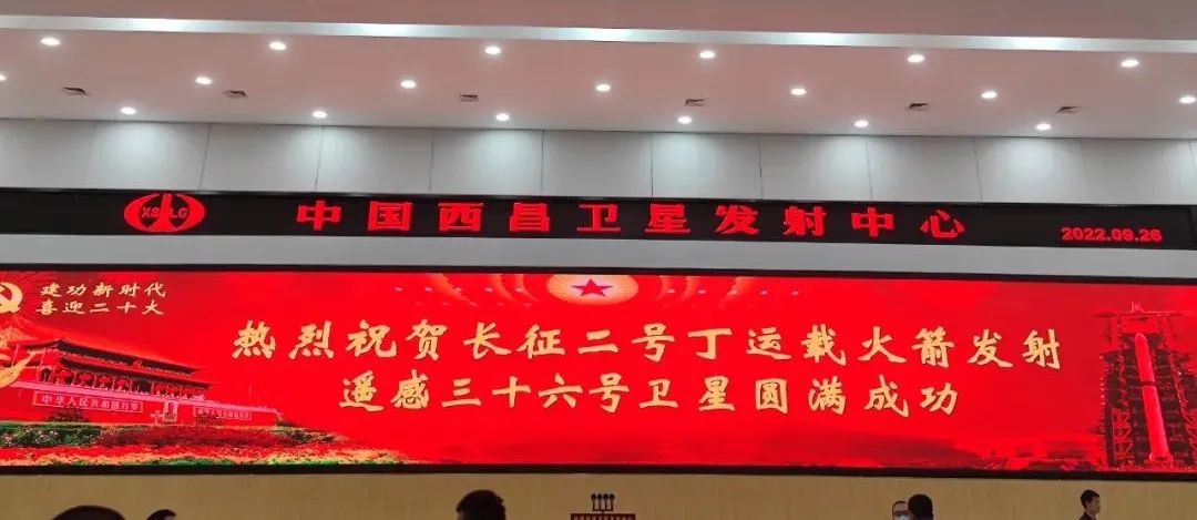
At 21:38 on September 26, 2022, my country used the Long March 2 Ding Yunzai Rocke...
my country's successful launch of remote sensing 36 satellites
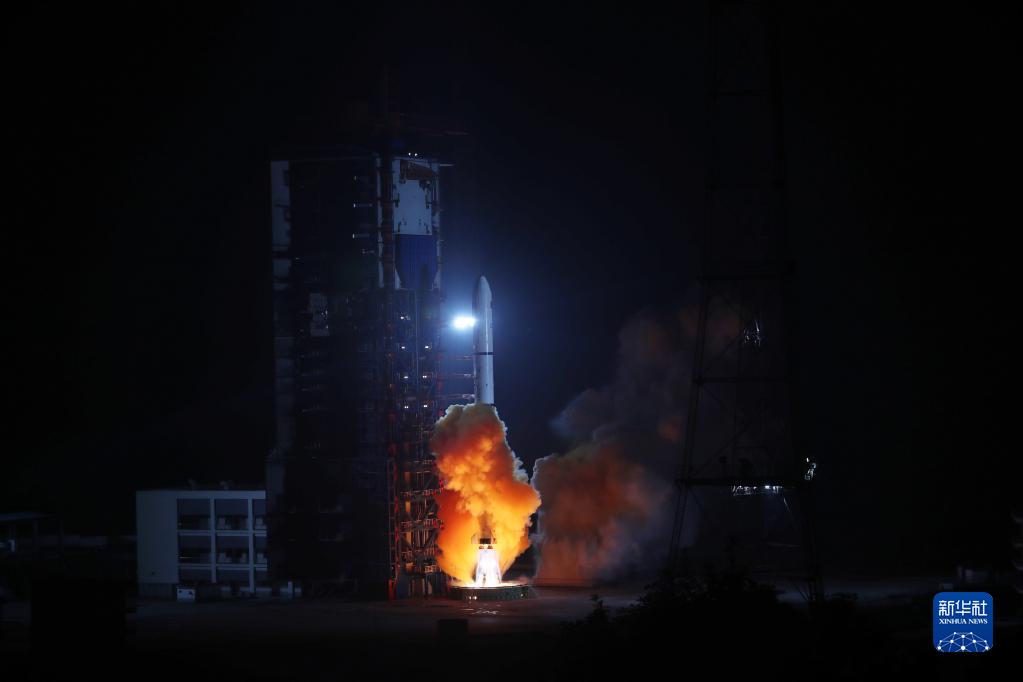
At 21:38 on September 26th, my country used the Long March 2 Ding Yunzai Rockets ...
my country's successful launch of remote sensing 36 satellites
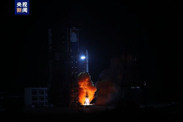
At 21:38, September 26, 2022, Beijing time, my country used the Long March 2 Ding ...
my country's successful launch of remote sensing 36 satellites
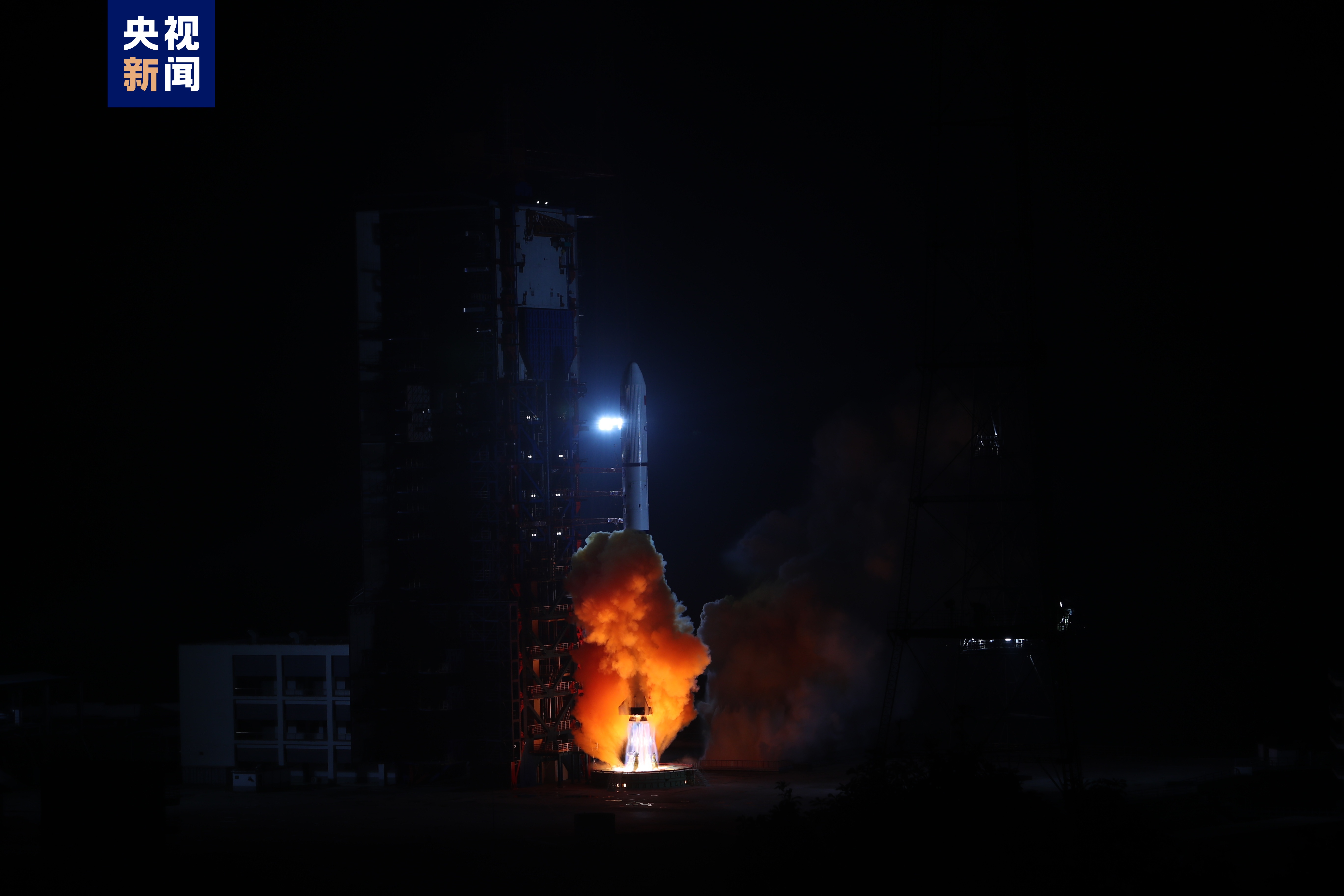
At 21:38, September 26, 2022, Beijing time, my country used the Long March 2 Ding ...
Welcome to the 20th major | Building dream remote sensing, high -tech "chasing stars" ... Listen to the technology power behind the Chinese dream

Guan Changbai 丨 "Jilin No. 1" satellite "glance"?
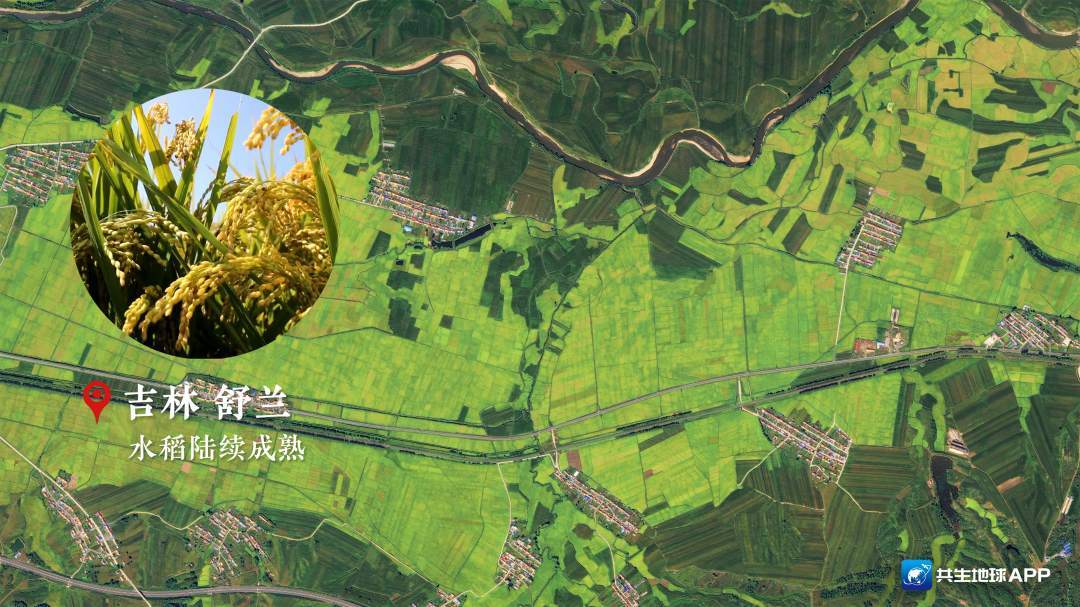
Today's autumn equinox is also the harvest festival of Chinese farmers. The ...
Guan Changbai 丨 "Jilin No. 1" satellite "glance"?
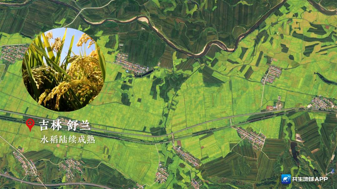
Today's autumn equinox is also the harvest festival of Chinese farmers. The joy...
Satellite records bumper map scene
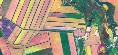
The picture shows the Heilongjiang Farm Farm taken by Jilin 1.Interviewee confiden...
The Ministry of Water Resources deployed and carried out demonstration of remote sensing monitoring and water consumption application of agricultural irrigation area in 2022
Recently, the General Office of the Ministry of Water Conservancy issued the Notice on the Demonstration of Remote Sensing Monitoring and Water Use of Agricultural Irrigation Area in 2022 (hereinaft
Light in South Star in space

"East Digital and West Calculation" paint "Ling Eyes" Chengdu Intelligence Exhibition "Zhi" | Go all out to fight for the economy to build

Cover reporter Wu YujiaIn February of this year, since the East Digital West Calcu...
The front line of war and epidemic 丨 "Technology Long Tail" helps protect the supply, and human -computer interaction reduces virus transmission.

Fireworks Chengdu returns in an orderly manner. Under normalized epidemic preventi...
Experts entering the school science interpretation of satellite remote sensing technology and its application
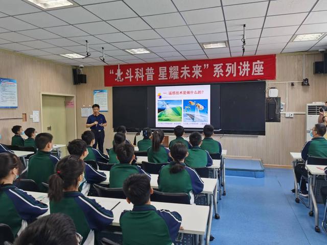
Henan Daily client reporter He KeAs the 2022 China Beidou Application Conference i...
High score special -Aerospace Technology's "100 million points" application in the field of people's livelihood
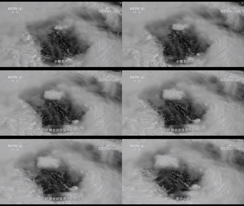
Recently, CCTV's Open Lecture program invited Liao Chujiang, a researcher at the N...
Innovation high!Guangxi Natural Resources Remote Sensing Institute Four Projects won the Award of the Surveying and Mapping Science and Technology Award of the China Institute of Surveying and Mapping
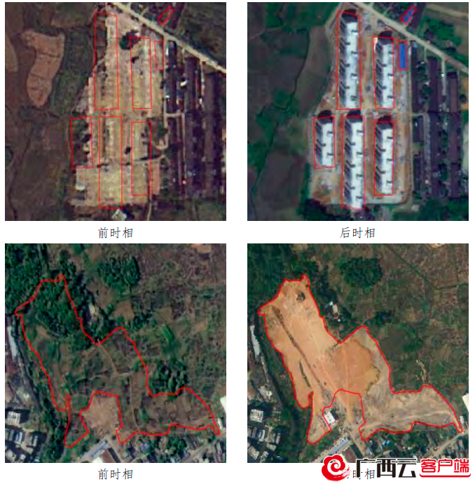
Use satellite remote sensing intelligent changes identification technology to quic...
Innovative application of satellite remote sensing technology
Satellite remote sensing technology is a comprehensive technology observation technology. For a long time, it has been used in water conservancy hydrology, geology, soil, environment, agricultural and
Welcome to the 20th National Congress | Jilin: Look at the technology password behind this set of commercial remote sensing satellites
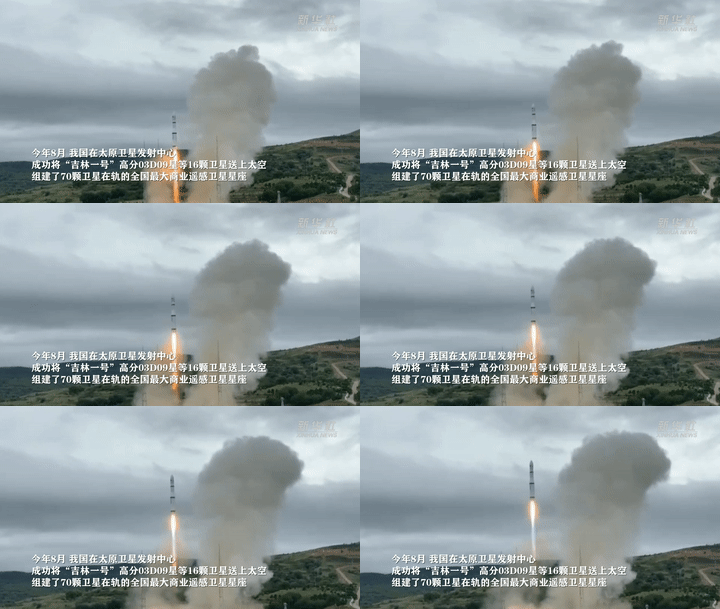
In August of this year, my country successfully sent 16 satellites such as Jilin N...
Li Deren, academician of the Chinese Academy of Sciences and academician of the Chinese Academy of Engineering: Geographical information is related to national security, core technology must be controlled and controllable

Li Deren, academician of the Chinese Academy of Sciences and academician of the Ch...
Luding earthquake to the main peak of Gongga Mountain on the east side of the glacial shape of the glacier becomes significant
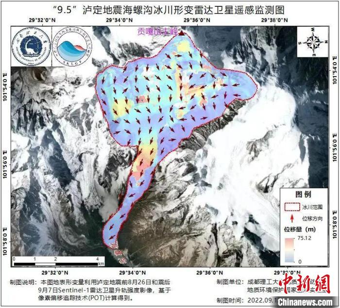
Luding earthquake -shaped glacier -shaped radar satellite remote sensing monitorin...