"Ocean Forecast" | Two similar paths Typhoon Typhoon Characteristics and Causes Comparison Analysis of the Eastern Coastal Area
Author:National Ocean Forecasting Tai Time:2022.07.18

Two similar paths of typhoons triggered the characteristics and cause comparison analysis of precipitation distribution in the coastal areas
Please use the PC terminal download address:
http://www.hyyb.org.cn/magazine/show.aspx?id=3399
Note
Author: Li Jun 12 Li Yan 12 Jia Rui 12 Tian Yunfei 12
Unit: 1. Key laboratory of meteorological disaster prevention and mitigation in Shandong Province, Jinan, Shandong 250031;
2. Meteorological Bureau of Zibo City, Shandong Province, Shandong Zibo 255000
Category Number: P444
Publishing Year · Volume · Period (page number): 2022 · 39 · III (25-36)
Abstract: Utilize the analysis data from the National Environmental Forecast Center and the actual precipitation observation data of the observation site of the China Meteorological Administration, analyze the similar path of Typhoon Lekima and Typhoon 0509 Matsa, which is similar to the path. ) During the influence period, the precipitation intensity of the coastal areas and the obvious differences between the landing areas compared the large -scale circulation and thermal structure characteristics of the two landing typhoons. The results show that the typhoon "Lichma" and the west wind trough are combined in the central and western parts of Shandong (the west side of the typhoon path), which is superimposed with the vertical movement on the right side of the high -altitude rapids into the mouth area, forming a deep and strong upward movement. Southeast rapid flow continues to transport water vapor, the precipitation increase is obvious and the center is west, and the typhoon weakens and slows down. At the same time, the Northeast Asia circulation has been blocked by the downstream typhoons to prevent stability and less movement. The long -term maintenance of the precipitation system is another important reason for breaking through the historical record extreme precipitation. Unlike the typhoon "Lichma", the typhoon "Masa" has no western wind grooves and high -altitude rapids during the influence of the Typhoon "Masa", low -level convergence of shallow and rising movements, water vapor comes from weakened typhoon circulation; typhoon movement speed is fast, which is typhoon, which is typhoon. The "Matsha" precipitation is significantly smaller than the typhoon "Lichma".
Keywords: landing on typhoon; eastern coast; distribution of precipitation; water vapor transport; high altitude rapid flow
Abstract:Based on the reanalysis data of the National Centers for Environmental Prediction and precipitation data of the China Meteorological Administration observation stations, the significant difference of precipitation intensity and spatial distribution in the eastern coastal area during typhoon "Lekima"(1909) and typhoon " Matsa"(0509) are analyzed, and the characteristics of the large-scale circulation and dynamic thermal structural of the two landing typhoons with similar paths are compared in this paper. The results show that typhoon "Lekima" combined with the westerly trough in the central and western Shandong province(west of the typhoon path) and the vertical movement on the right side of the high-altitude jet inlet area induces a deep and strong upward movement. The low-altitude southeast jet on the east side of the typhoon constantly Transports Water Vapor, Which Cases The Significant Increase of Precipital nsity weakening. Meanwhile, the northeast Asian circulation is stable since it is blocked by the downstream typhoon, and the long-term maintenance of the precipitation system is another important reason for the extreme precipitation that breaks the historical record. Unlike typhoon "Lekima", there is no westerly trough and highaltitude jet in the large-scale circulation during typhoon "Matsa". The water vapor comes from the weakened typhoon circulation with shallow low-level convergence and weak ascending movement and the typhoon moves fast, which makes the precipitation during Typhoon "Matsa" Significantly Less than that during typhoon "lekima".
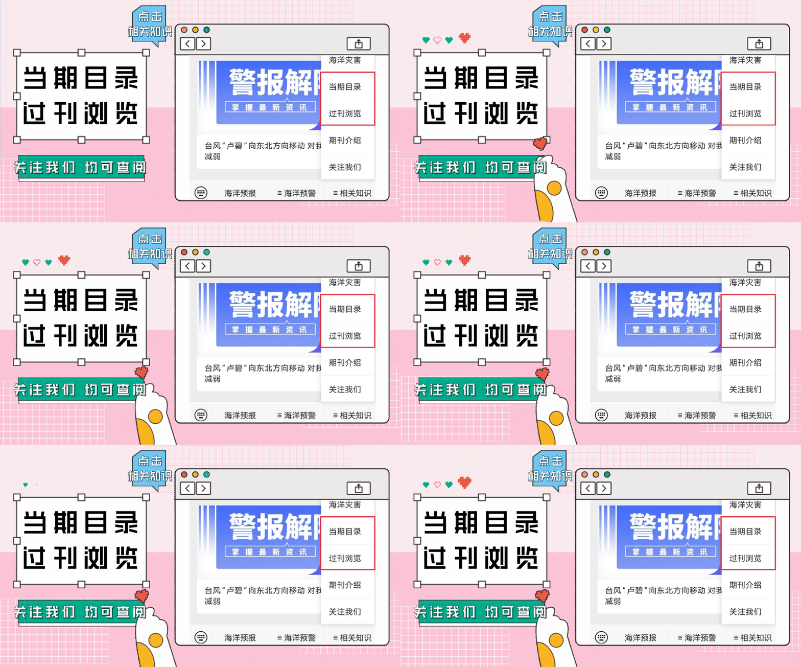
Key Words: LANDING TYPHOON; The Eastern Coastal Area; Precipitation; Water Vapor Transport; High-Altitude Jets readers can also pass the public account menu bar

"Related Knowledge" sector enters
"Time Catalog" and "Publishing Browse"
Check the detailed journal content
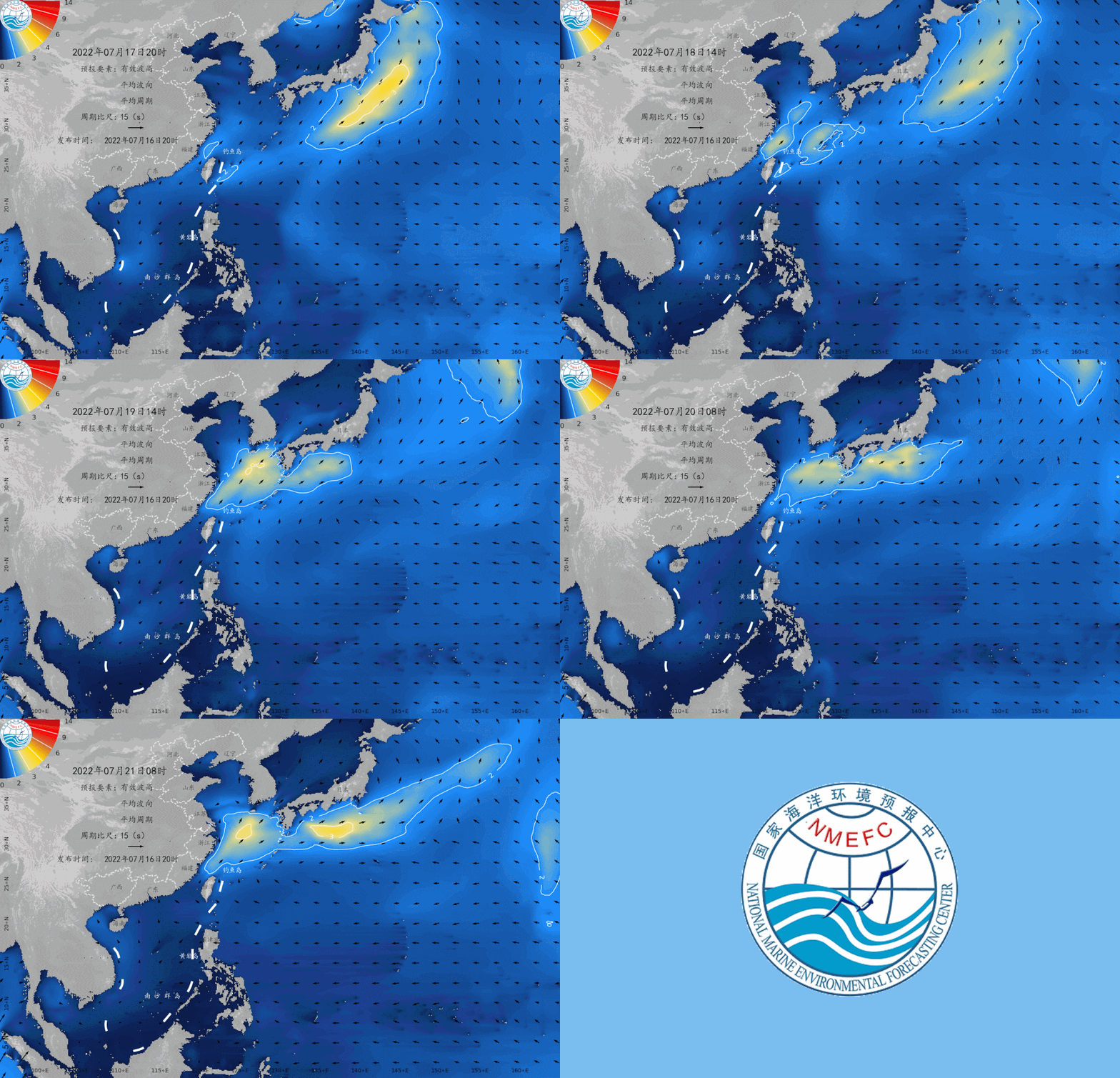
The marine environment forecast in the next two days
Expected tomorrow,
There are light waves of 0.6 to 1.2 meters in the north of the Bohai and Yellow Sea;
There are 1.3 to 2.3 meters of Zhonglang District in the south of the Yellow Sea;
There are 2 to 3 meters in the northern part of the East China Sea to Dalang District;
The southern part of the East China Sea, the waters near the Diaoyu Islands, the Taiwan Strait, and Taiwan have 1.5 to 2.3 meters of Zhonglang District;
There are 1.2 to 1.7 meters of light waves from the north and central parts of the South China Sea;
There are light waves from 0.6 to 1.3 meters in the south of the South China Sea and Beibu Gulf.
Expected the day after tomorrow,
The big waves in the northern part of the East China Sea are maintained, and the waves are 2 to 3 meters high.
July 17th to 21st

Beautiful island waters sea conditions
Expected tomorrow,
There is a 2.2 -meter -long wave near the sea area near the Diaoyu Islands, which is not suitable for traveling by boat;
Dongji Island, Nanji Island, Laoshan Island, and the waters near Sandu Island are 1.8 ~ 2 meters of Zhonglang, Dachen Island, Dongtou Island, Pingtan Island, Chuanshan Islands, Haling Island, Yongxing Island There are 1.3 ~ 1.7 meters in the sea area. These islands are more suitable for traveling by boat;
The waters near the other beautiful islands in my country are light waves, with good sea conditions, and they are very suitable for traveling and island.
Beautiful island refers to the following 35 islands:
Juehua Island, Changshan Islands, Bodhi Island, Long Island, Liu Gong Island, Lingshan Island, Qinshan Island, Lianjima, Chongming Island, Shengsi Islands, Sushan Island, Dongji Island, Putuo Mountain, Dachen Island, Yuhuan Island, Dongdong Tou Island, Nanji Island, Laoshan Island, Sandu Island, Pingtan Island, Meizhou Island, Dongshan Island, Diaoyu Island, South Australia Islands, Wanshan Islands, Sichuan Shan Islands, Hailing Island, South Island, Dong Island, Dong Island, Dong Island, Dong Island, Dong Island, Dong Island, Dong Island, Dong Island, Dong Island, Dong Island, Dong Island, Dong Island, Dong Island, Dong Island, Dong Island, Dong Island, Dong Island, Dong Island, Dong Island, Dong Island, Dong Island, Dong Island, Dong Island, Dong Island, Dong Island, Dong Island, Dong Island, Dong Island, Dong Island, Dong Island, Dong Island, Dong Island, Dong Island, Dong Island, Dong Island, Dong Island, Dong Island, Dong Island, Dong Island, Dong Island, Dong Island, Dong Island, Dong Island, Dong Island, Dong Island, Dong Island, Dong Island, Dong Island, Dong Island, East Island, East Island, East Island, Dong Island Dazhou Island, Boundary Island, Wuzhizhou Island, Yongxing Island, Huangyan Island, Yongshu Reef.
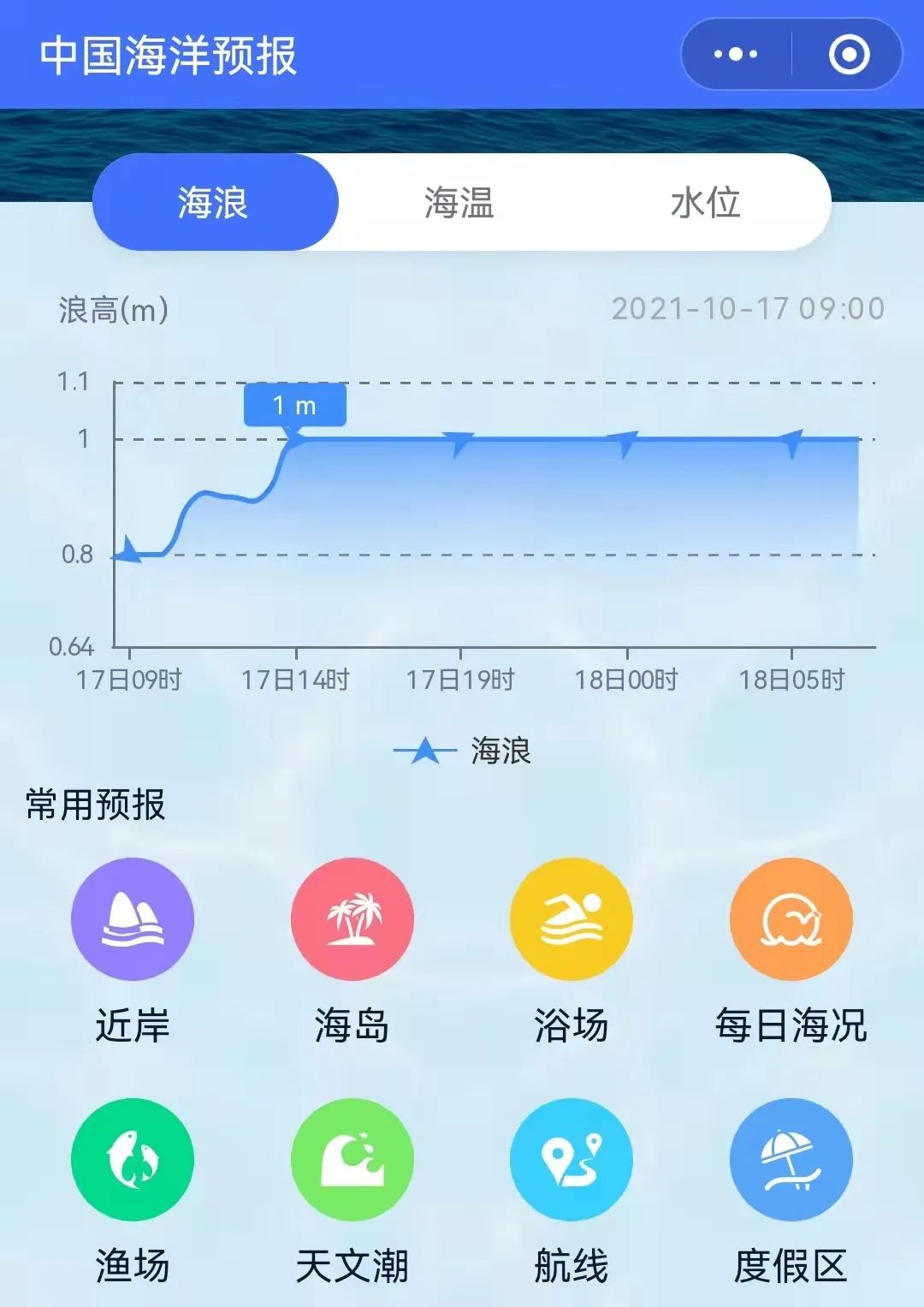
More coastal tourism forecasts are all in China's marine forecast
PC can log in to China Ocean Forecast Network http://www.oceanguide.org.cn/indexhome

The mobile terminal can use China Ocean Forecast WeChat Mini Program

Click the picture below
Enter "China Ocean Forecast" WeChat Mini Program
Long press the picture below to identify the QR code

- END -
Nanchong Shunqing: Once a "breakfast party" once a month to help companies relieve the difficulties

The same scene, different VIPs. Early on July 4th, the breakfast party of the mont...
The entire area of Yuezhuang Management and Control District, Fengtai District, Beijing

At 15:00 on June 8th, as the recent continuous personnel nucleic acid testing ...