Ministry of Natural Resources: The three -dimensional China Construction of the Location of Real Estate in various places
Author:Changjiang Daily Time:2022.06.30
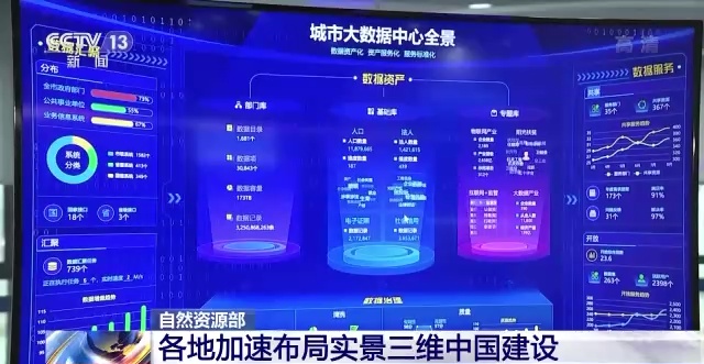
The reporter learned from the Department of Natural Resources yesterday (29th) that my country is accelerating the construction of a new basic surveying and mapping system to comprehensively promote the construction of the real three -dimensional China.
The real, three -dimensional, and timing of time and space information that reflects human production, life and ecological space as a real, three -dimensional, and sequentialization is an important new infrastructure in the country. The real 3D China also provides a unified space positioning framework and analysis foundation for Digital China. It is an important strategic data resources and production factors for the digital government and the digital economy.

The Ministry of Natural Resources stated that at the national level, the city -level real -life three -dimensional city -level cities and conditions of county -level cities with a resolution of 5 cm resolution in 2035 were achieved. The system realizes the general service, and the cities above the prefecture level and the conditions of county -level cities realize digital space and real -time interoperability of real -time space.

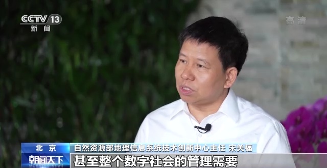
Song Guanfu, Director of the Technology Innovation Center of the Geographical Information System of the Ministry of Natural Resources: Behind the wave of digitalization is the base of its support from two -dimensional to three -dimensional upgrade. The real three -dimensional China is such a base. It is not just to meet the Ministry of Natural Resources Department Business management needs, it also meets more ministries and commissions, even the management needs of the entire digital society.
In recent years, Beijing, Shanghai, Wuhan, Xi'an and other cities have carried out a pilot of new basic surveying and mapping, exploring the construction of real three -dimensional cities.

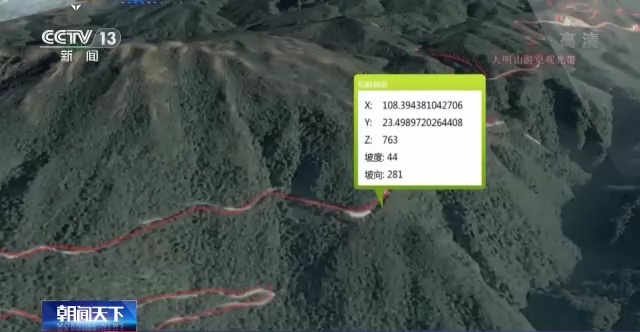
After the completion of the real three -dimensional Chinese project, the status and spatial distribution of various natural resource elements can be presented in all aspects and three -dimensionalization. It can reflect the distribution of terrain space, surface texture, ground material characteristics, and achieve natural space and the characteristics of the surface of the terrain space. Related interaction of digital space.
(Source: CCTV News Client)
【Edit: Wang Yujin】
For more exciting content, please download the "Da Wuhan" client in the major application markets.
- END -
Escort college entrance examination!The construction site near the test site will be suspended during the examination period

The Shanghai Autumn College Entrance Examination in 2022 will be held from July 7t...
[Call for Ping An] How can a grass -roots policeman walk into the hearts of the people?Yang Shirong, the National Outstanding People's Police, has answers

Author | Wei YuanyuanIn 15 years, the police of the Public Security Bureau of Guiz...