Innovation high!Guangxi Natural Resources Remote Sensing Institute Four Projects won the Award of the Surveying and Mapping Science and Technology Award of the China Institute of Surveying and Mapping
Author:Guangxi Daily Time:2022.09.14
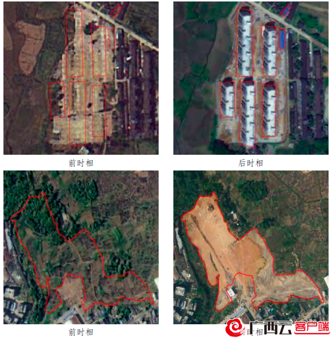
Use satellite remote sensing intelligent changes identification technology to quickly obtain surface changes.
A few days ago, the Chinese Society of Surveying and Mapping released the 2022 China Society of Surveying and Mapping Society Science and Technology Awards. Among them, the "key technology and application of real -time three -dimensional full -week positive shooting image of large -scale buildings" won the first prize of the China Surveying and Mapping Science and Technology Award. Technology and applications "" Characteristic Digital Resources Sharing and Smart Treatment Key Technology and Application "won the second prize of the China Moveance and Mapping Science and Technology Award.
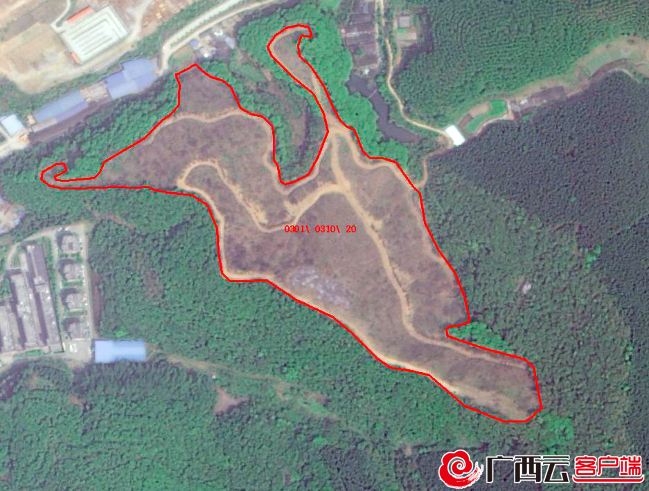
Satellite remote sensing images in the forest area (later).
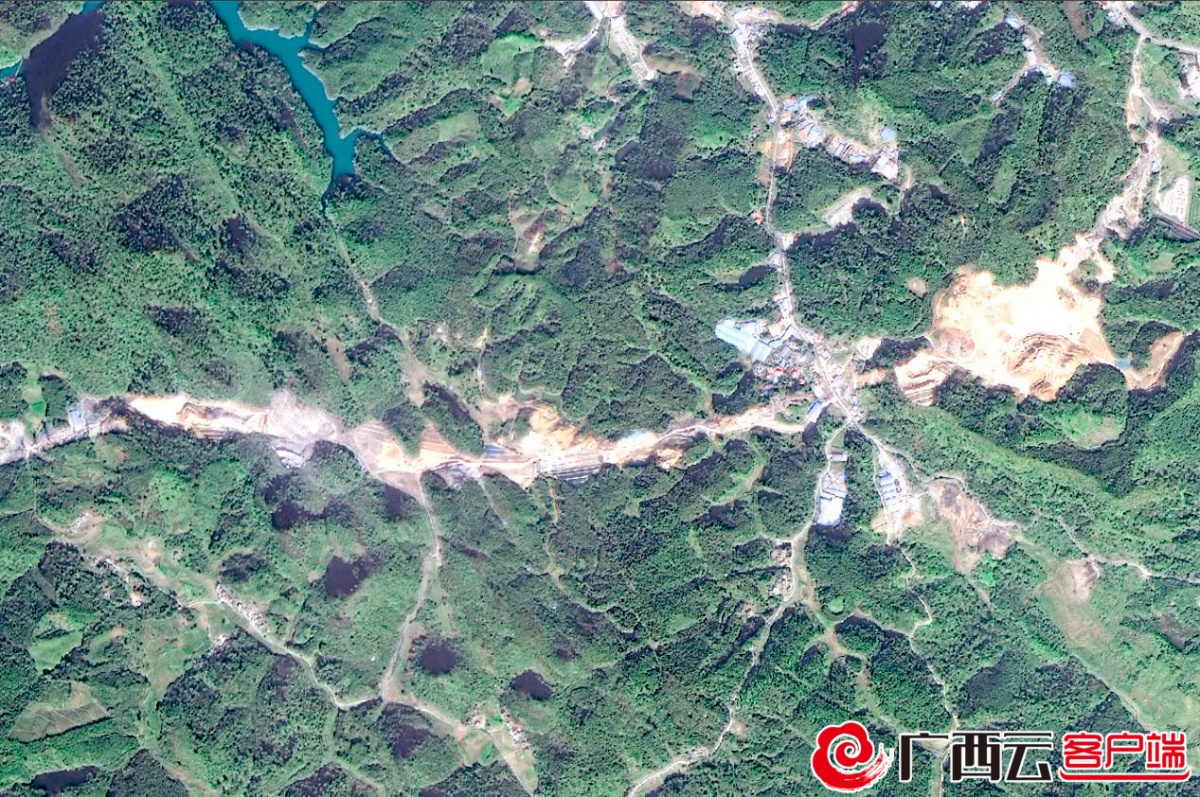
Forest road construction satellite remote sensing image (later phase).
The "Key Technology and Application of Guangxi Satellite Remote Sensing Intelligent Service" projects led by the court, for the degree of automation and accuracy of satellite remote sensing image processing of complex terrain and regional satellite remote sensing images such as Guangxi and other complex terrain. Data visualization and rapid loading and scheduling difficulties, creatively developed "rapid processing technology based on multi -scale reference benchmark", "remote sensing intelligent change identification technology based on composite convolutional neural networks", "large -scale three -dimensional space data loading scheduling and visualization technology "For key technologies, build a Guangxi satellite remote sensing application service technology system covering the rapid processing of image automation, intelligent changes in remote sensing, and remote sensing three -dimensional visualization. The application work of the industry departments provides remote sensing support services.
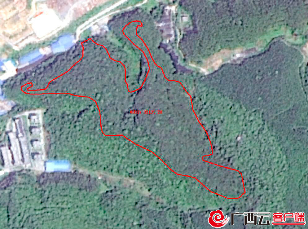
The forest area is not rated satellite remote sensing image (previous time).
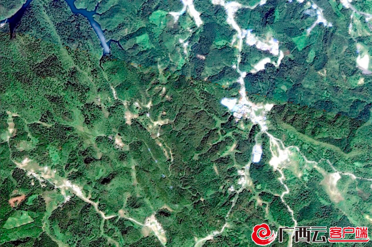
Forest resources have not changed satellite remote sensing images (previous time).
The "Guangxi Forest Resources Change Remote Sensing Monitoring Project" project led by the hospital, relying on the satellite image and independent research and development system of data, through intelligent identification extraction and human -machine interaction judgment, realize the dynamic monitoring of the consumption and growth of the global forest resources in Guangxi It provides data support and technical forces to promote the simultaneous enhancement of the "Ecological Beauty Value" and the "Happiness Index" of the green mountains and people's lives.
The main leaders of the Guangxi Natural Resources Remote Sensing Institute said that the winning multiple awards not only refreshed the annual awards in the Chinese Surveying and Mapping Science and Technology Award, but also fully demonstrated the hospital's in recent years. The effectiveness, pioneering, and long -term work of the series carried out in the other side. In the next step, the hospital will continue to implement the innovation -driven development strategy, and comprehensively exerts research management, personnel incentives, platform construction, and institutional organizations, and continuously improve the level of scientific and technological research and development, the ability to cooperate with production, research, research, and scientific and technological innovation service capabilities.
- END -
This movie is killed in Weifang, and the subject matter has attracted much attention

Weifang Daily Weifang Rong Media News On August 12, the anti -drug theme micro -mo...
For the first time since the conflict, they talked

According to the Associated Press, on the 29th local time, US Secretary of State B...