The first batch of Luding "9.5" earthquake seismic area HD aviation image feature map production was completed
Author:Cover news Time:2022.09.08
Cover Journalist Tian Zhi Road
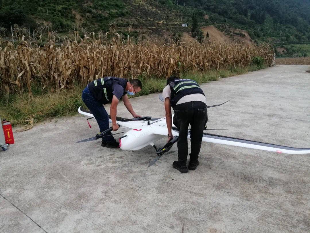
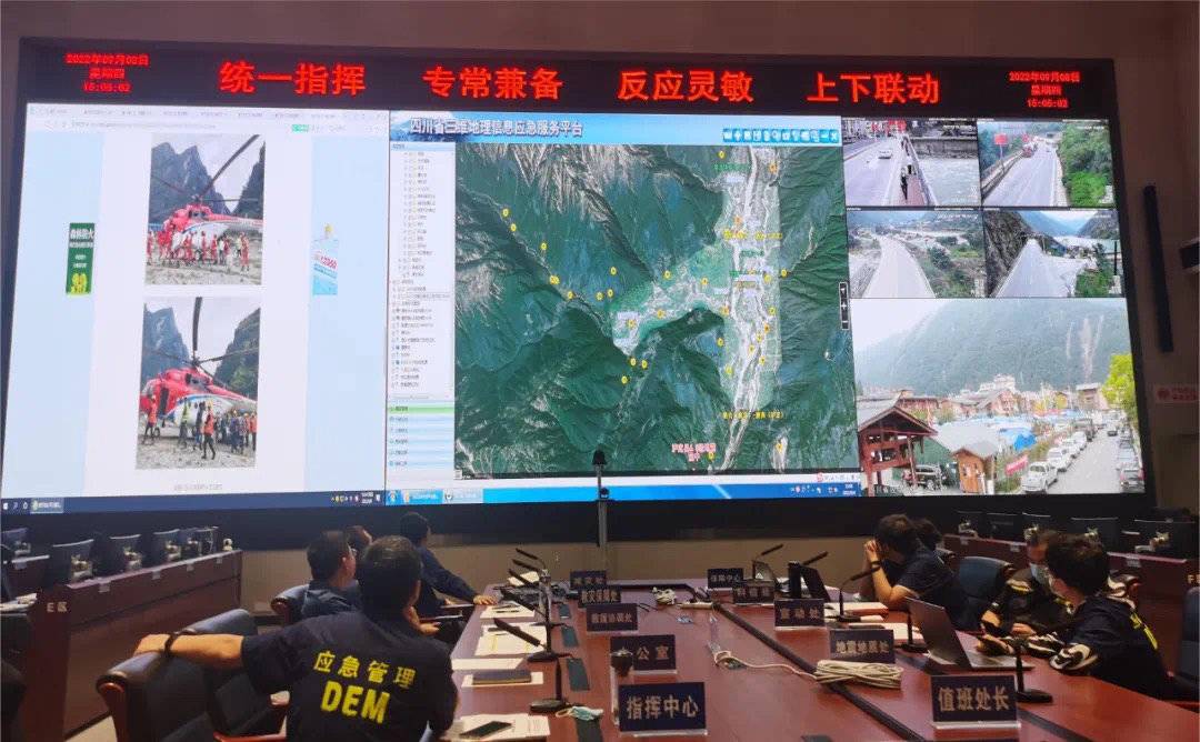
According to the needs of emergency rescue and post -disaster evaluation of the Luding earthquake, the Sichuan Provincial Surveying and Mapping Geographical Information Bureau will send two drone teams on the morning of September 7 from Zigong and Chengdu on the morning of September 7, respectively. , Rushed to the core earthquake area of Luding County.
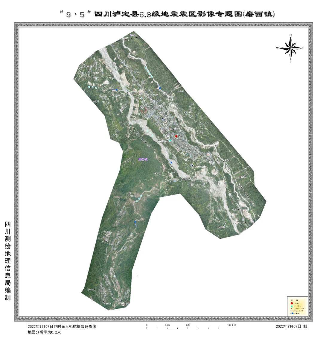
The venue of Moxi Town, Luding County this time, a large amount of collapse caused by the earthquake, and the accumulation of decline in the road and obstructing the stone. The emergency team members arrived smoothly at 4 pm on the 7th, and immediately carried out drone debugging. Essence
At this time, multiple helicopters over the disaster area were hovering for rescue, the airspace was busy and it was about to rain. The engagement of the drone re -planned the take -off and landing point and the aerial high according to the situation. After being approved in the airspace, it overcome the disorders, take off against the wind, and successfully obtained the core of the core disaster area. Essence
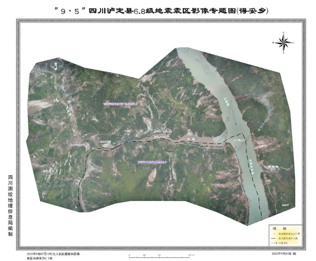
After the image was successfully obtained, the front drone team and the rear emergency service platform technical force cooperated to cooperate to produce the "Special Map of the Image of Decao Township" and the "Special Map of the Image of Moxi Town", and provide a green channel through surveying and mapping results. Give the National Key Laboratory of the National Basic Geographic Information Center, the Provincial Earthquake Rescue Headquarters, the Natural Resources Department, the Provincial Earthquake Administration, the National Key Laboratory of Geological Disaster Prevention and Geological Environmental Protection of Chengdu University of Technology, as well as the Provincial Fire Rescue Corps and the Provincial Forest Fire Corps. Provide first -hand information with departments to conduct disaster research, emergency command, post -earthquake rescue, etc.
According to the deployment of the front line emergency disaster relief headquarters, one of the unmanned units rushed to Ashami County overnight, and planned to obtain key towns such as Xinmin Township and Wanggang Ping. After the unmanned unit arrived smoothly in the early morning of the 8th, he took a landslide to carry out the venue survey overnight, and then assembled and commissioned the drone to overcome the low clouds, the rain, the rain took off, and successfully obtained the image of about 40 square kilometers. data.


- END -
Is there a discount on the fare of Kunming Metro Line 5?Do you support your face?Look at → -

Kunming Rail Transit Line 5 will depart from the Expo Park Station at 11:00 today ...
Mid -Autumn Festival holiday!Which sections are easy to block?Accept this travel guide →

/The time of the Mid -Autumn Festival in 2022 isFrom September 10th to September ...