alert!Typhoon "Sanda" strikes
Author:Jiangsu Police Time:2022.07.30



The Central Meteorological Observatory issued a typhoon blue warning at 10:00 on July 30:
Typhoon No. 5 this year's "Sanda" (tropical storm) center at 8 am on the 30th in the northern sea of the East China Sea, which is about 450 kilometers east of Jiangsu Qi East, is 31.4 degrees north latitude and 126.4 degrees east longitude. There are 8 levels (18 meters/s), the minimum atmosphere of the center is 1,000 hundred Pache, and the seven-level wind ring radius is 120-180 kilometers.
It is expected that "Sanda" will move north to north at a rate of about 20 kilometers per hour. The speed of movement on the 31st will slow down and go north in Jiangsu. The intensity has not changed much.
Dafeng forecast: From 14:00 on July 30th to 14:00 on 31st, the northern part of the East China Sea, the middle of the Yellow Sea and the south, the Yangtze River Estuary District, the coast of the northeast of Zhejiang, the coast of Shanghai, and the southern coast of Jiangsu will have 6-7 winds. The nearby sea surface passed by the center is 8-9, and the gusts can reach level 10.
Precipitation forecast: From 14:00 on July 30th to 14:00 on 31st, there will be middle to heavy rain and territorial rainstorm in the southern coast of Jiangsu, the coast of northern Zhejiang, and Shanghai.
Typhoon is coming
What should we do?
Poke the picture below to understand
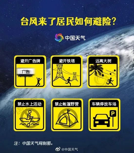
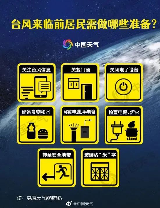
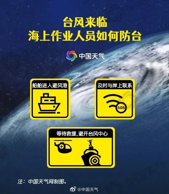

Typhoon weather
Be sure to pay attention to safety
Do a good job!
- END -
13 newly added infected infections in Si County, Anhui, and 10 patients with first -sized nucleic acid sieve
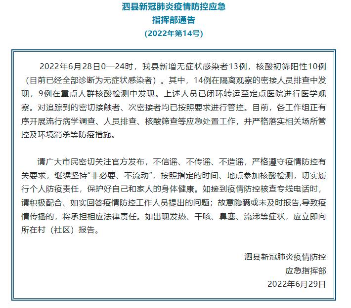
China News Service, June 29. According to the WeChat public account of the Propaga...
Yindu Water Village, pursue the prosperous hammer that spans the thousands of years

Spring cherry blossoms winter bird viewing, summer love lotus autumn love willowHe...