The school -enterprise and enterprise jointly innovate, "copy" the yellow crane building error of the yellow crane building with remote sensing and mapping does not exceed one hair shit
Author:Changjiang Daily Time:2022.07.06
The Yangtze River Daily Da Wuhan client July 6th. The elderly living in the Kangyang Community can detect physical data in real time without wearing a close -up device. The three -dimensional model of cultural relics can be "copied" to the cloud with millimeter accuracy. Wuhan Smart Geographic Information Industrial Park in Hanyang District will turn these into reality.

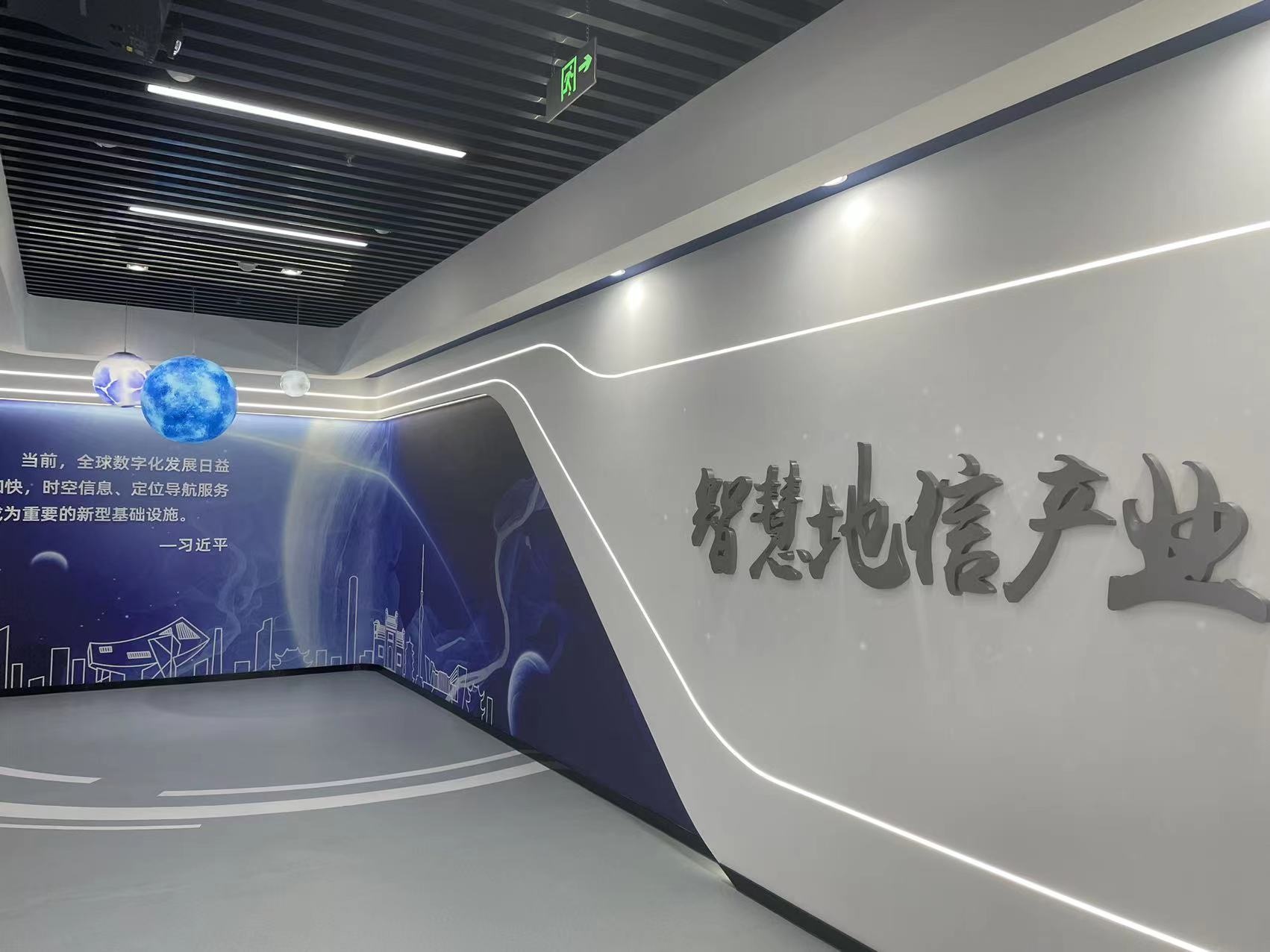
Wuhan Smart Geographical Information Industrial Park opened in Hanyang District. (Correspondent Huang Yan's picture)
On the same day, a number of geographical information companies such as Yimi Jing, Zeta Yun, and Rui Jie joined hands with Wuhan University and China University of Geosciences to cooperate with school -enterprise and use cutting -edge technologies such as remote sensing, surveying and mapping, and artificial intelligence to promote the development of the digital economy in emerging areas.
"Take pictures of the cultural relics with the accuracy of millimeter level, which is one of the directions we are preparing to cooperate with Wuhan University." Che Dengke, general manager of Hubei Ruijie Information Integration Co., Ltd., used a metaphor of an image to introduce the school -enterprise Cooperation.
According to Che Dengke, this "photo" is actually close to photography measurement technology. It uses professional equipment to shoot target objects at multiple angles, and calculates the integration into a high -precision three -dimensional model. Under this technology, the accuracy of the urban model can reach centimeter level, and the accuracy of the object model can reach millimeter level. Silk."
Under school -enterprise cooperation, Rui Jie will use the key laboratory of Wuhan University Earth Space Information Engineering to close the technical advantages and scientific research results of photography measurement to accurately serve urban buildings fine three -dimensional reconstruction, cultural relics protection and repair, local disaster monitoring and evaluation, city city, city Underground space planning and re -use of various business areas.
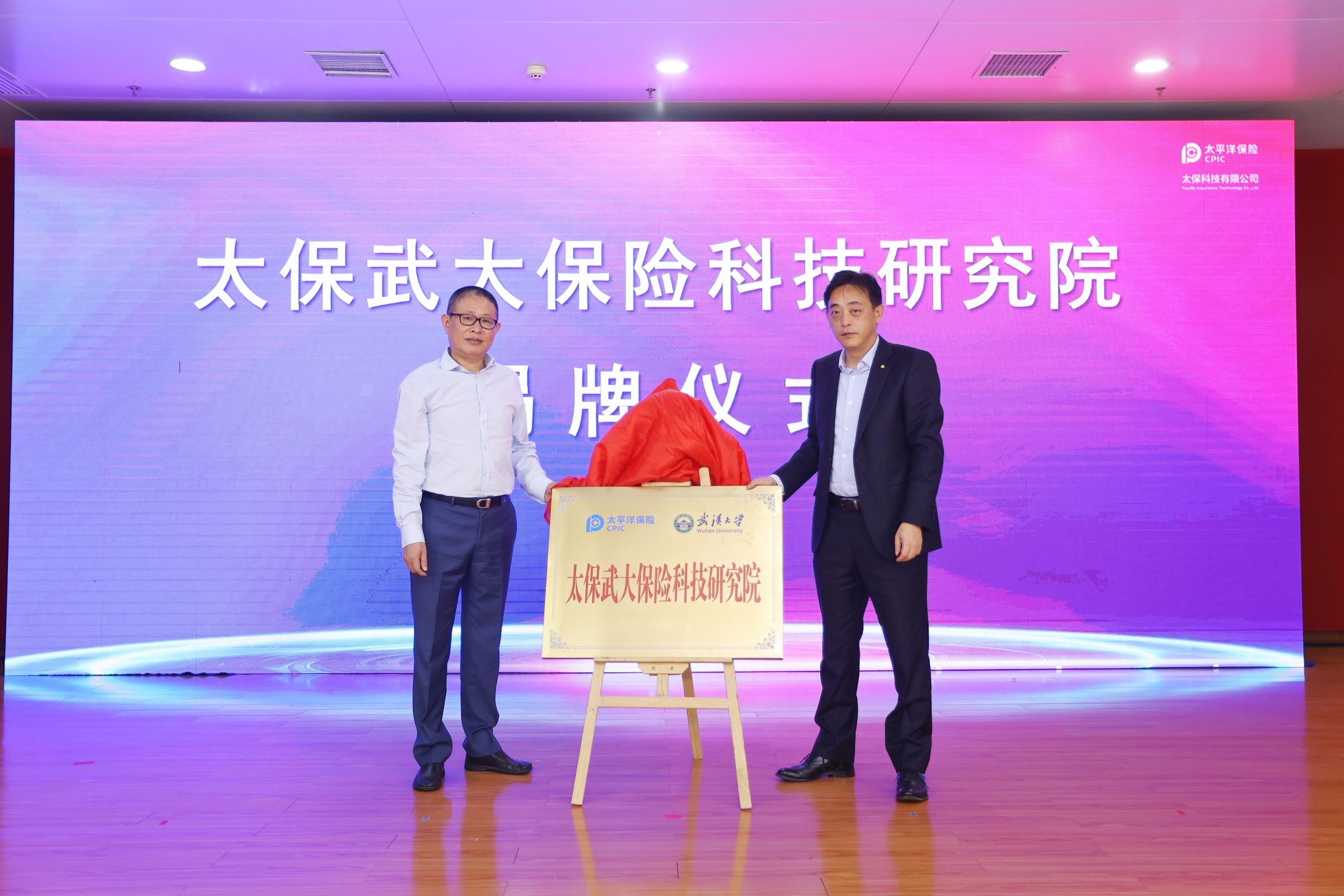
Not only can "scan" static buildings, remote sensing technology, geographical information surveying and mapping technology, etc., are also expected to be used in dynamic data monitoring of human positions and health. On July 5th, Tai Bao Technology Service (Wuhan) Co., Ltd. signed a contract with Wuhan University to jointly build the Taobao University Insurance Technology Research Institute, and will carry out in -depth cooperation in multiple fields such as insurance finance and health.

Tai Bao Technology Services (Wuhan) Co., Ltd. signed a contract with Wuhan University to build the Taobao University Insurance Research Institute. (Correspondent Huang Yan's picture)
"It can be imagined that the remote sensing technology of Wuhan University will monitor physical data in real time in real time. Significantly improved. "Wang Jian, general manager of Tai Bao Technology.
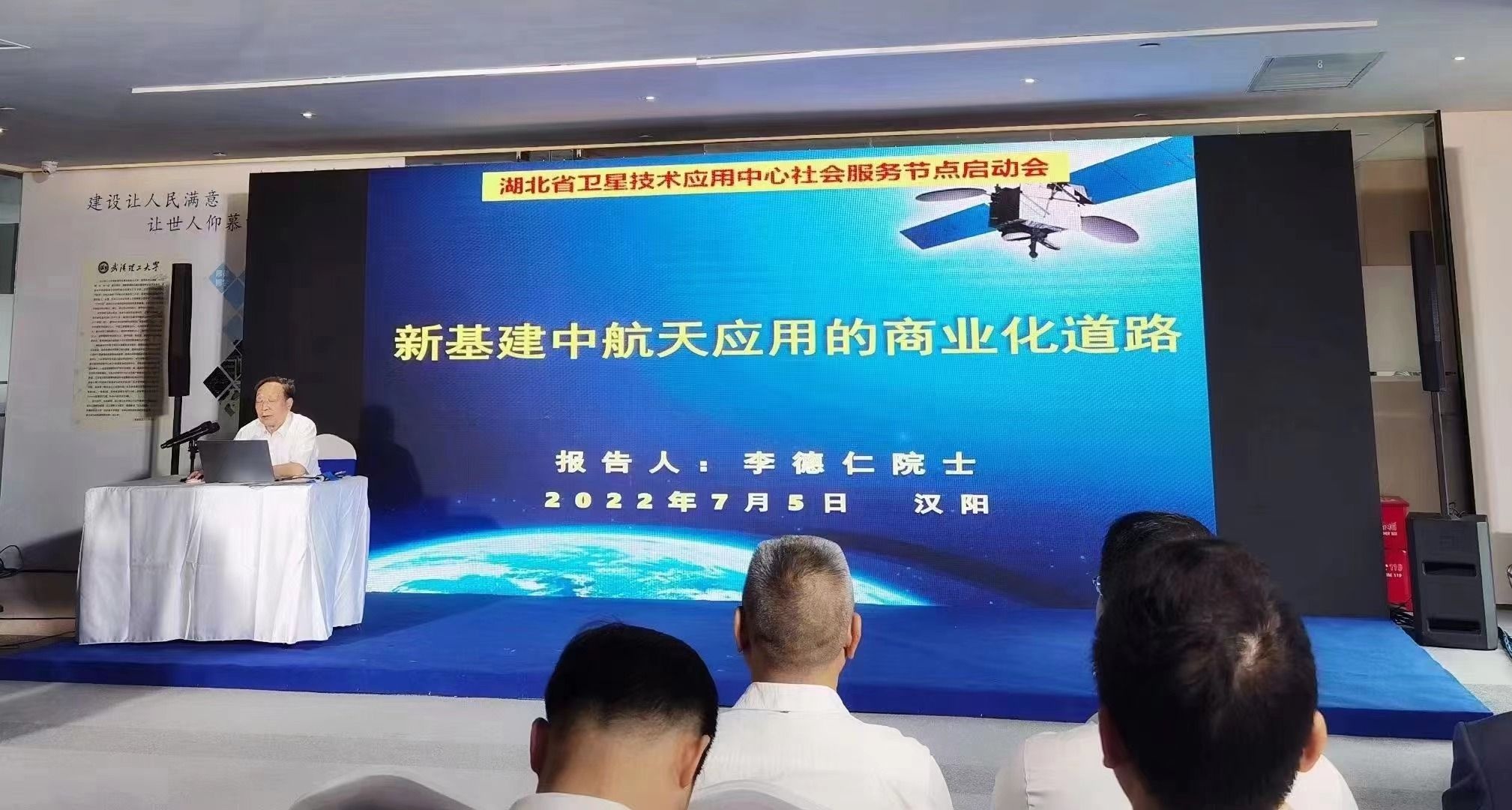
Disaster emergency drone data collection, unmanned transportation of special environment, smart cities, geographical real scene three dimensions ... On the same day, the construction node of the Socialized application node of the Hubei Provincial Satellite Center was launched simultaneously in Hanyang. Professor Li Daren, as a special guest, talks about the application prospects of "the commercial road of new infrastructure China Aerospace Application". He believes that the development of satellite navigation and remote sensing remote sensing geographical information application industries has become an important part of the development strategy of national strategic emerging industries. In the future, this field will bring a trillion yuan industrial scale.

Li Daren shared the theme of "the commercial road of new infrastructure China Aerospace Application" as a special guest. (Correspondent Huang Yan's picture)
On the same day, Hanyang District issued the "Several Support Policies on Accelerating the Development of the Geographical Information Industry in Hanyang", and provided support for settlement rewards, financing discounts, and executive talents to the introduction of relevant enterprises that settled in. Can reach 2 million yuan.
Industry experts said that Wuhan has outstanding advantages in the geographical information industry, with many universities, key laboratories and high -tech enterprises, but there is still a gap in socialization. Hanyang District is the first to lay out on the digital economy subdivision track, attract the development of the geographic information industry chain, form a smart geographic information industry park in Wuhan, and innovate with the scientific research team of colleges and universities to accelerate more digital application scenarios. Essence
(Changjiang Daily reporter Qin Yan Correspondent Zeng Jianhuang Liu Li intern Feng Jinglin Wang Xiaowen Deng Jinlan)
【Edit: Zheng Xiaoxiao】
For more exciting content, please download the "Da Wuhan" client in the major application markets.
- END -
What does snowflake look like under the microscope?May be different from what you think

Although we say that our current science is already very developed,We know a lot a...
2022 Tencent · Science and Technology Innovation Conference is held in Chengdu today

Today, the 2022 Tencent · Science and Technology and Innovation Joint Conference,...