"Users in the disaster area, your mobile phone has access to the communication network through the drone high -altitude station" "
Author:Global Times Time:2022.09.05
At 12:52 on September 5, a magnitude 6.8 earthquake occurred in Luding County, Ganzi Prefecture, Sichuan Province, with a depth of 16 kilometers. As of 21, the earthquake has caused more than 30 personnel to die, and some communications in Luding County and Ya'an City, Luding County, Ganzi Prefecture have been damaged. According to a reporter from the Global Times, many domestic satellites and emergency communication drones have currently emergency support for rescue work in the earthquake -stricken area of Luding County, Ganzi Prefecture, Sichuan Province, and provide support for communication, remote sensing, and weather for disaster relief.
The relevant person in charge of the Xi'an Satellite Surveying and Control Center introduced to a reporter from the Global Times on September 5 that at 14:48 on September 5, the Xi'an Satellite Surveying and Control Center received a remote sensing satellite from the China Resources Satellite Application Center to the earthquake in Luding County. Application for emergency imaging tasks, the center emergency deployment of high score 3 satellites, emergency injection load data, so that satellite users will receive remote sensing images in the affected area as soon as possible, and assist relevant departments to analyze and judge the disaster situation and evaluation.
The person in charge stated that in the future, the center also adjusted the measurement and control plan of high scores, winds, and environmental disaster reduction in accordance with the requirements of satellite users to increase the tracking circle to ensure that the satellites provide fast and accurate remote sensing image information and meteorological information according to demand demand. Data services provide various information support for rescue area rescue.


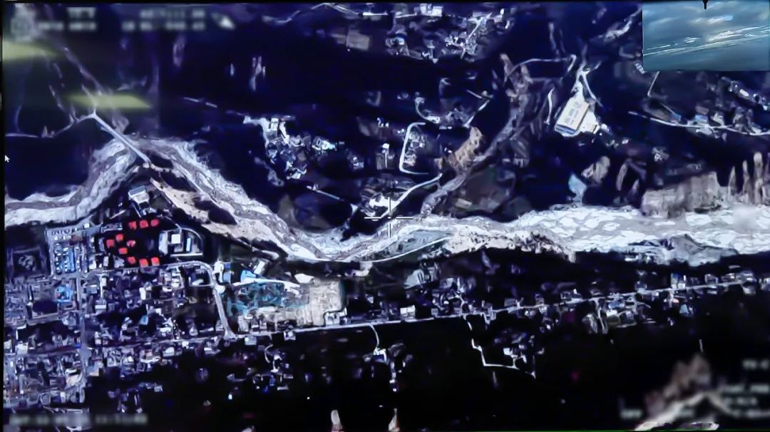
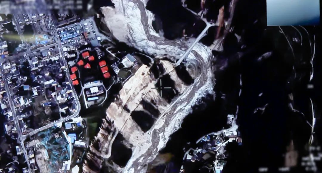
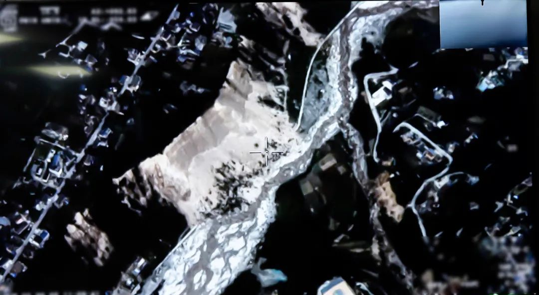
Aviation map of the earthquake region returned by the drone (Source: Sichuan Tengshun Science and Technology)
According to the reporter of the Global Times, after the earthquake, the Sichuan Provincial Communications Administration and the Emergency Management Department immediately launched a secondary response of emergency communication guarantee in accordance with the case, and emergency scheduling the Tengshield Science and Technology Double -Tail Scorpion drone flew to the affected. In the area, assist in earthquake relief.
The relevant staff of Sichuan Tengshun Science and Technology Co., Ltd. introduced that after receiving the rescue mission, Tengshun Science and Technology quickly completed the deployment and flight preparation of the drone task, and the airspace coordination was completed urgently with the strong support of the aviation management department. At 17 o'clock, the Teng Shield Double -Tail Scorpion drone hanging the photoelectric reconnaissance pod and the air base station equipment took off at Zigong Fengming Airport. After 1 hour and 40 minutes, the drone flew over the earthquake area, launched a wide area inspection of disaster conditions and implemented public communication coverage tasks. The Sichuan Provincial Department of Emergency Management reminds users of the disaster area that your mobile phone has access to the communication network through the drone high -altitude station to provide you with real -time voice and SMS services. "
It is understood that the dual -tailed scorpion drone of the Earthquake relief was 35 hours, the maximum range was 7,000 kilometers, and the maximum increase was 10,000 meters. It was the world's first double -hair large high -end drone system. Excellent air performance provides sufficient guarantee for the deployment and development of large emergency communication work, and also makes fast response, cross -regional and uninterrupted air support a reality. The dual engine greatly improves the reliability and flight safety of the drone, so that the drone maintains its significant advantages in the deployment capacity, complex weather conditions and the adaptability of the complex geographical environment in the plateau and the sea. The configuration of the dual -engine motor ensures that the drone can provide sufficient power supply capacity for the entire Netcom air base station or other task loads. These characteristics also make the double -tailed scorpion drone particularly suitable for the field of emergency communication.
In July of this year, this type of drone has just completed the world's first complex natural environment and real emergency conditions in Ganzi Kangding Airport at 4,238 meters above sea level. The "actual combat" test of net emergency communication.
Global Times-Global Network Reporter Fan Wei special reporter Lu Binghong
- END -
Create the "Digital" seedlings and the smart farm, Sichuan Fushun Lizi Village, step into the "Digital Age" in advance

Click on the picture to participate Cover news reporter Liu Ke ShengDon't look at ...
A portal reflects the business temperature, why is this project landing so fast in Jinan

Although it is just a small house, it reflects the temperature of Jinan's service ...