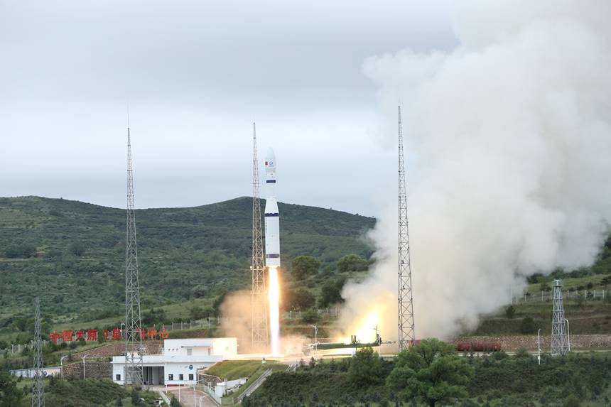
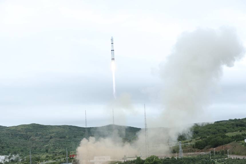
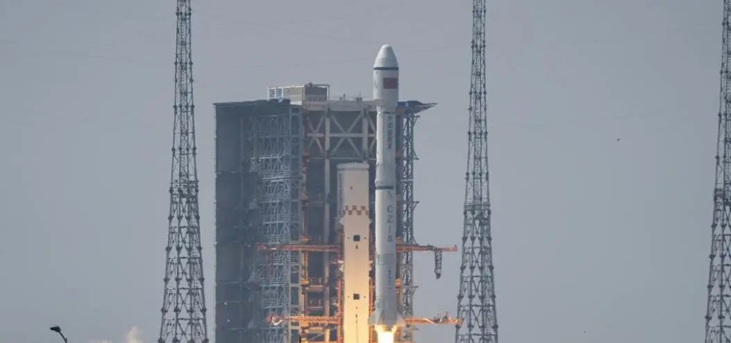
One arrow 16 stars successfully launched!The number of "Jilin No. 1" increased to 70 in the rail satellite!
Author:Jilin Daily Time:2022.08.10
At 12:50 on August 10, 2022, Beijing time, my country successfully used the Long March 6 Launar Rockets at the Taiyuan Satellite Launch Center to successfully put the Meishan "Tianfu Constellation" Dongpo 01 ~ 07 Star ("Jilin No. 1" 03D35 ~ 41 Star), "Henan No. 1" ("Jilin No. 1" high score 03D42 star), "Xi'an Hangou No. 1" ("Jilin No. 1" 03D09 star), "Puyin No. 1" ("Jilin No. 1" "High score 03D43 star)," Tianjin Binhai No. 1 "(" Jilin No. 1 "infrared A06 star)," Yunyao No. 1 "04 ~ 08 star (" Jilin No. 1 "infrared A01 ~ 05 star), etc. The satellite launch is lined, the satellite enters the scheduled track smoothly, and the launch task has achieved a complete success.

Meishan "Tianfu Constellation" Dongpo 01 ~ 07, "Henan No. 1", "Xi'an Hangou No. 1", and "Puyin No. 1" are Changguang Satellite Technology Co., Ltd. The light, small high -definition optical remote sensing satellites jointly developed by Henan Provincial Department of Natural Resources, Xi'an Aerospace Investment Co., Ltd., Shanghai Pudong Development Bank Co., Ltd. and Puyin Financial Leasing Co., Ltd. The characteristics of high resolution.
Among them, Meishan's "Tianfu Constellation" is China's first satellite constellation with the theme of smart cities. It will be widely used in farmland water conservancy, natural resources, transportation construction, cultural tourism, emergency disaster prevention, etc. to provide strong support for the construction of smart cities in my country And guarantee; after the "Henan No. 1" satellite is put into use, it will effectively enhance the ability of satellite remote sensing monitoring and early warning of satellite remote sensing in Henan Province, the ability to surveying and mapping geographical information, and help the implementation of the digital transformation strategy of Henan Province; Technologies such as remote sensing+big data "are integrated, and providing government and industry users with environmental protection, forestry, water conservancy, emergency disaster relief in the fields of environmental protection, forestry, water conservancy, and emergency disaster relief. Remote sensing data services are provided in the fields of urban construction, forestry resource census, and ecological environment monitoring, and will also provide important data support for Puyin to build a new pattern of digital development.

"Tianjin Binhai No. 1" satellite, "Yunyao No. 1" 04 ~ 08 star is a new type of observation small satellite jointly developed by Changguang Satellite Technology Co., Ltd. and Tianjin Yunyao Aviation Technology Co., Ltd. Detecting the ocean, hotspot targets and atmosphere, obtaining the radiation information of the target, and then measure the target's target to measure the characteristics of infrared radiation according to the models such as the atmosphere, land and ocean. The six satellites have the characteristics of short development cycle, high integration, light weight, small volume, and cost -effective. After the operation of rail business, it will be widely used in meteorological forecasting, search tracking, fire monitoring, and atmospheric detection.
This launching task set a record of the largest number of satellites for the "Jilin No. 1" satellite. After the 16 satellites are track, it will be composed of 54 "Jilin No. 1" satellite on the track. At this point, the number of "Jilin One" increased to 70 in the rail satellite, marking the successful completion of the first stage of the "Jilin 1" constellation. After the satellite is put into use, it will significantly improve the data acquisition and information service capabilities of the "Jilin No. 1" constellation.
The task was the 21st launch of the "Jilin No. 1" satellite project.
Source: People's Daily -Jilin Channel
- END -
Changde leaders investigating the development of the digital economy industry

On August 16, Xu Yongjian, member of the Standing Committee of the Changde Municip...
Satellite "carbon measurement": it is easy to go to the sky, it is difficult to land | 36 carbon focus

During the short period of storage, in the field of carbon satellite, the national...